Hiking to Elk Hole

Directions:
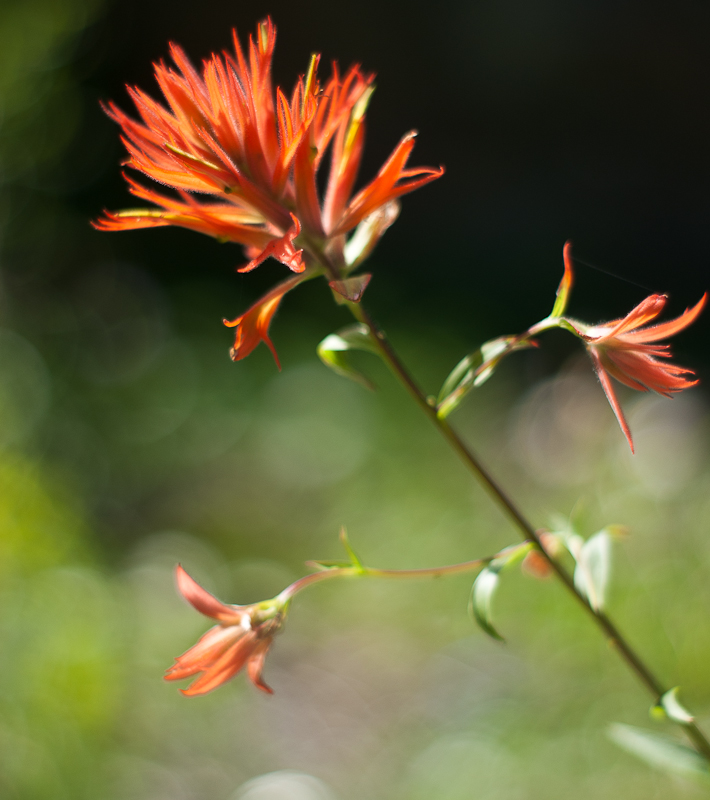
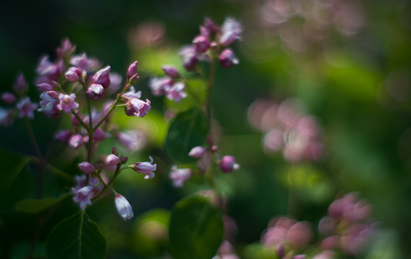
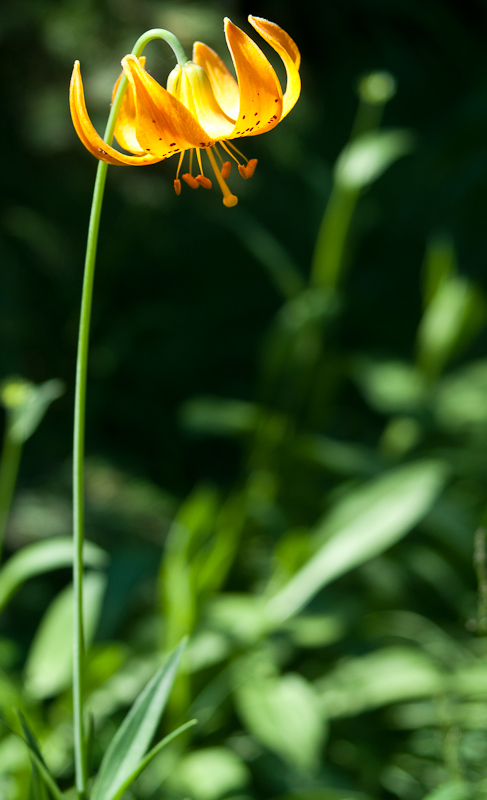
The trail is about 7 miles long, round trip, but is very strenuous. It took us around six hours, which includes a long lunch break and tree inspection stop down in Elk Hole. There’s about a 1000 foot net elevation gain before the steep descent into Elk Hole, but it’s up and down quite a bit. We lost the trail in a few places, but always found it again. Keep an eye out for flagging tape and cairns. There are some spectacular views along the way (see the header for this blog!) and the wildflowers were in full bloom, making up for the desolate blackened ridge we trudged through later on.

We’d been told (perhaps some hearsay, here) that the trail (and other trails in the area) were no longer permitted to be maintained by the USDA Forest Service as they once were because of land rights and agreements with the local Native Americans. While there definitely is a trail, check conditions before hiking it if you don’t know the area, since blow-down or rockslides might obstruct the path.
Large fires swept through the area in 2008, but Elk Hole seems to be untouched and the yellow cypress tress are healthy. There are around five or six clonal clumps with 10-25 stems each. They’re right at the edge of the pond (Elk Hole). They had a light cone crop. Around the trees were alder, spruce, incense cedar and fir. The tallest yellow cypress was probably 35-40 feet in height.


Overall, the hike out was much faster than the hike in. On the way back, we chatted with a lady camping out at Flatiron Lake – she told us about the history of the GO Road. In the 80s, they were building a highway from Orleans to Gasquet. The Native Americans hold much of the land in the Klamath National Forest as sacred, including areas that the road would have given everyone access to. A group of people feverently protested the highway, and laid down on the road up to where they had built it – which, to this day, is as far as the road goes. The surrounding land ended up better protected, and the GO Road is a strangely wide, paved strip that weaves 30 miles into the Klamath National Forest before coming to an abrupt end.
In 2010, they painted “NO GO” at the end of the road – a good reminder of their success.
